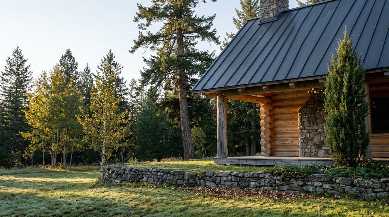
Lake Koocanusa Lakefront Property in Rexford, MT Explained
September 3, 2026
September 3, 2026
Every summer a handful of Rexford listings show up with some version of the word "lakefront" in the headline, and every summer a few buyers write an offer assuming that word means what it means most places: a deed line that runs to the water, a beach that belongs to nobody else, a dock you can build without asking permission. On Lake Koocanusa, that assumption is usually wrong, and it has nothing to do with the seller misleading anyone. It has to do with who actually holds title to the last stretch of shoreline, and on this reservoir the answer is almost always the federal government.
Lake Koocanusa isn't a natural lake. It's a 90-mile reservoir created when Libby Dam went up on the Kootenai River in the early 1970s, and the valley that flooded to form it sits almost entirely inside the Kootenai National Forest. That single fact shapes nearly every "lakefront" listing you'll see around Rexford, and it's worth understanding before you fall for a photo of a dock.
The U.S. Forest Service, which manages the land bordering most of the reservoir, states plainly that Koocanusa's shore sits almost entirely within national forest boundaries, with no private summer-home or condominium development along the water. That's a very different setup than a natural lake, where a developer typically platted private lots down to the water decades ago and buyers have been trading deeded frontage ever since.
Around Koocanusa, the pattern runs the other way. When the reservoir filled behind Libby Dam, the land at the water's edge stayed in federal hands rather than becoming private lakefront acreage. Private parcels back up to that federal boundary. They don't extend past it.
Once you know to look for it, the pattern shows up constantly in current listing descriptions around Rexford and West Kootenai. Parcels are marketed as bordering national forest land with lake frontage, or offering direct access to national forest land and the shoreline beyond it, rather than advertising a specific footage of owned waterfront the way a listing on a natural lake would. A 63-acre property on Othorp Lake Road that came to market this spring, priced at $1.8 million, is a good example: the listing leans on its acreage, its three parcels, and its position bordering national forest land, not on a deeded strip of shoreline that belongs exclusively to the buyer.
Gated communities follow the same logic. A homesite in Wilderness Club is currently marketed as bordering U.S. Forest Service land with the lake framed as a short walk away, and a separate West Kootenai parcel nearby is described as bordering Forest Service land on two sides. Neither is a smaller version of lakefront. Each is a different kind of property, and the price should reflect proximity and privacy, not deeded water frontage.
| What the listing says | What it usually means on Koocanusa |
|---|---|
| "Bordering National Forest land, lake frontage" | The deeded parcel meets a federal boundary; the shoreline itself is Forest Service or Army Corps land |
| "Direct access to the lake" | A path, road, or boat launch reaches public shoreline, not a private beach |
| "Lake view" or "peekaboo lake view" | A sightline through trees or terrain, with no claim on the water's edge |
| "Short walk to the marina" | Community-level proximity, not individual-parcel frontage |
None of this makes the land less desirable. It changes what you're actually buying, which is privacy, acreage, and proximity to a lake that stays undeveloped precisely because it isn't lined with private docks.
There's a second layer to this that natural-lake buyers rarely have to think about: the water's edge on Koocanusa isn't fixed. The reservoir is operated by the Army Corps of Engineers primarily for flood control, and its full-pool elevation of 2,459 feet is a summer target, not a guarantee. As of early August 2026, gauge readings put the reservoir at roughly 2,448 feet, about 10 feet below that target. The summer before, in 2025, the Corps' Seattle District described conditions as one of the driest years on record for the basin, with unusually low inflows heading into the season.
A 10-foot swing sounds small until you picture it against a shoreline that slopes gradually into a reservoir rather than dropping off the way a natural lakebed does. Ten feet of elevation can mean a wide stretch of exposed shoreline in a low year and a much shorter walk to the water in a wet one. If a parcel's "lake access" depends on a trail or a low bank, that access looks different in August of a dry year than it does in listing photos taken during spring runoff.
A parcel that borders national forest land is genuinely private. What isn't private, on Koocanusa, is almost always the ground closest to the water, and how close that ground actually is depends on snowpack two states away.
None of this is a case against Rexford real estate. It's the reason the lake still looks the way it does. The same federal ownership that limits private frontage has kept 90 miles of shoreline free of the wall-to-wall docks and seawalls you'd find on a comparable lake ringed by private lots. Rexford Bench Campground, the marinas at Abayance Bay and Mariners Haven, and the Koocanusa Bridge, the longest and highest bridge in Montana, all sit inside that same federally managed corridor, and it's a big part of why the drive between Eureka and Libby still feels open rather than built out.
Buyers who understand the trade-off tend to end up the happiest owners on the lake. They're buying acreage, tree cover, and a boundary next to public land that will never be subdivided beside them, not a private beach they can fence off.
A few steps matter more here than they would on a typical lake purchase.
Is any shoreline on Lake Koocanusa privately owned? Most of it isn't. The reservoir sits almost entirely inside land managed by the Kootenai National Forest and the Army Corps of Engineers, which is why "lakefront" listings around Rexford typically describe bordering that public land rather than owning deeded frontage. Boundaries still vary parcel by parcel, so a current survey is the only way to know for certain on any specific property.
Does the water level change enough to matter for day-to-day use? Yes. Because Libby Dam is operated for flood control, the reservoir's summer level moves from year to year depending on snowpack, and it can sit meaningfully below full pool even in August, as it did this year. That affects how close the water actually comes to a "lake access" parcel at different points in the season.
Does this affect how Rexford land gets priced or marketed? It shows up in the language more than in a discount. Listings tend to lean on acreage, tree cover, and proximity to public land rather than advertising footage of owned waterfront, because there usually isn't a deeded strip of shoreline to advertise in the first place.
If you're comparing "lakefront" listings around Rexford and want a straight read on what a specific parcel's boundary and access actually look like before you write an offer, reach out to Erin Gilley for a consultation grounded in what the survey and the Forest Service boundary actually show, not just what the listing photo suggests.
Stay up to date on the latest real estate trends.


Erin’s passion for adventure extends into real estate. Whether it's renovating a fixer-upper or turning a vacation rental into something special, Erin’s creativity and hands-on approach ensure that every property is an opportunity to create something unique.